The Map Is Not the Territory
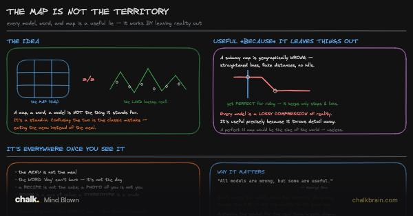
The drawing puts two maps side by side: a diagram that gets you across London, and a chart that gets a ship across an ocean. Both are wrong about distance on purpose, so they can be right about something else.
Before you start. You don’t need geometry or economics for the first half. If you’ve ever used a subway map, or watched a number everyone was told to hit stop meaning anything the moment people started chasing it, you already have both examples this lesson runs on.